On the very first day of 2016, we decided to spend half of the day walking around the Singapore River and Marina Bay. We took the MRT and alight at Raffles Place Station exit H to Chulia Street/Six Battery Road.
On this post, we will show you around Boat Quay and the Restaurants along the South bank of the mouth of Singapore River.
Between 1860 and the 1970, Boat Quay was the busiest part of the Port of Singapore. Many godowns (warehouses) were built along the river. And as the south of the river resembles the belly of the fish, as per chinese belief it is where prosperity lay, many shophouses were also built. The higher the shophouse, the wealthier the owner.
In 1977, a major clean-up of the Singapore River had been called by the then Prime Minister Lee Kuan Yuew. The clean up lasted for 10 years. The port was relocated and taken over by the other terminals: Pasir Panjang, Brani, Keppel Harbour, Tanjong Pagar and the Jurong Port.
Since 1990, the then godowns and shophouses located at boat quay were converted to Restaurants, bars and cafes.

Singapore River. Photo taken from the North Boat Quay with the view on the left: the Elgin Bridge, South Boat Quay Restaurants and the Business District at the South Bank.
Aerial view of the Singapore River in the 1960's with the Fullerton Hotel, Anderson Bridge, Cavenagh, Bridge, Business District at the South Bank, Boat Quay and the then Port of Singapore, Elgin Bridge at the far end.
Photo taken at the Fullerton Heritage Gallery, inside the Fullerton Hotel., courtesy of the National Archives of Singapore.
going upstream passes the Elgin Bridge
Elgin Bridge is a vehicular bridge across the Singapore River. The Existing bridge was completed in 1929 and named after Lord Elgin, Governor-General of India from 1862 to 1863.
going downstream is the Cavenagh Bridge

Cavenagh bridge is one of the oldest bridges in Singapore opened in 1870. It is the only suspension bridge in Singapore. Rickshaws and ox carts had been carried by the bridge in the earlier years. When the bridge was unable to cope up with the traffic flow, Anderson Bridge was built in 1910.
The government had decided not to demolish the Cavenagh bridge. It is now a pedestrian bridge.
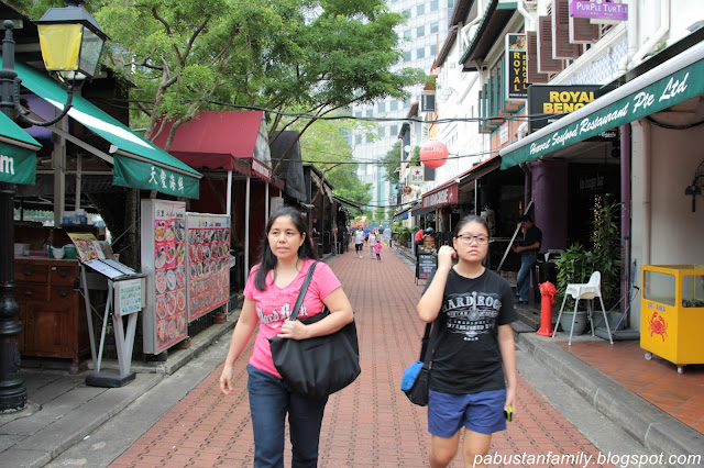
South bank of the river on the way to the Boat Quay Restaurants, Cafes and Bars
Since 1990, the Boat Quay at the South bank has been transformed into pedestrian and restaurants
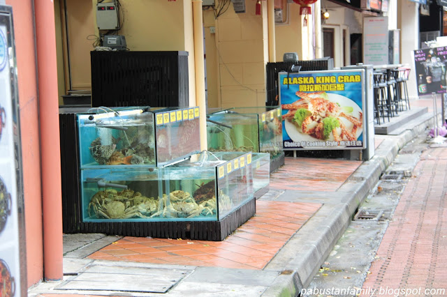
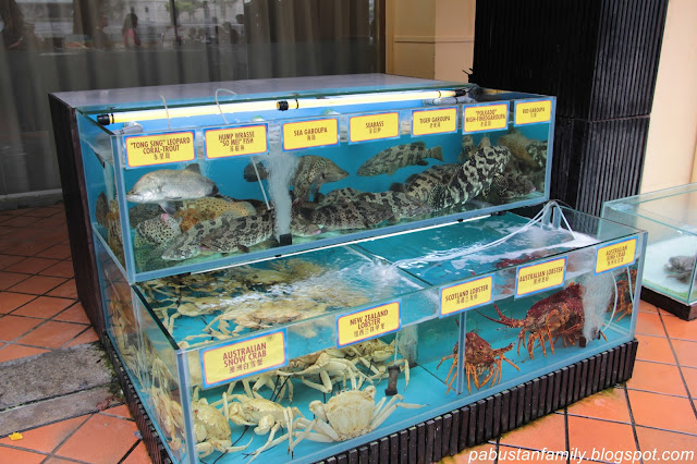
Boat Quay at the South Bank of the Singapore River is busier at night and most visited by the professionals and expatriates due to its proximity to office towers. The two to three story shophouses built in the 1860's had been converted to restaurants, bars and cafes. It offers a variety of cuisines from Western to Asia and European as well with the views of the Singapore River. It is also a great place for the tourists to sit and relax after a long day of sightseeing. Indulge with the ambiance as recharging for the next day work/sightseeing.
Elgin Bridge
An unnamed footbridge believed to have been existed in 1819, the year Sir Thomas Stamford Raffles, the founder of Singapore, landed on Singapore.
In 1822, the unnamed footbridge was replaced by a wooden drawbridge named Presentment Bridge.
In 1843, a wooden footbridge was built to replace the existing drawbridge.
In 1862, an iron bridge was built, replacing the wooden footbridge, and named after the James Bruce, 8th Earl of Elgin, Governor General of India from March 1862 to November 1863. The bridge was named, Elgin Bridge.
The south of the river is like the belly of a fish, as per chinese belief, it is where prosperity and luck lay. Many shophouses were built in the earlier years, which crowded the area. At present, more financial and business buildings were built within the southern area.
continues to North Bank of the Singapore River and the Marina Bay.
See also:


No comments:
Post a Comment